Valley Water
↩ Return to Webcam Page
‹
9008

9025. El Camino Storm Drain

Calabazas Watershed
›
9016
(View Reports or Plot)
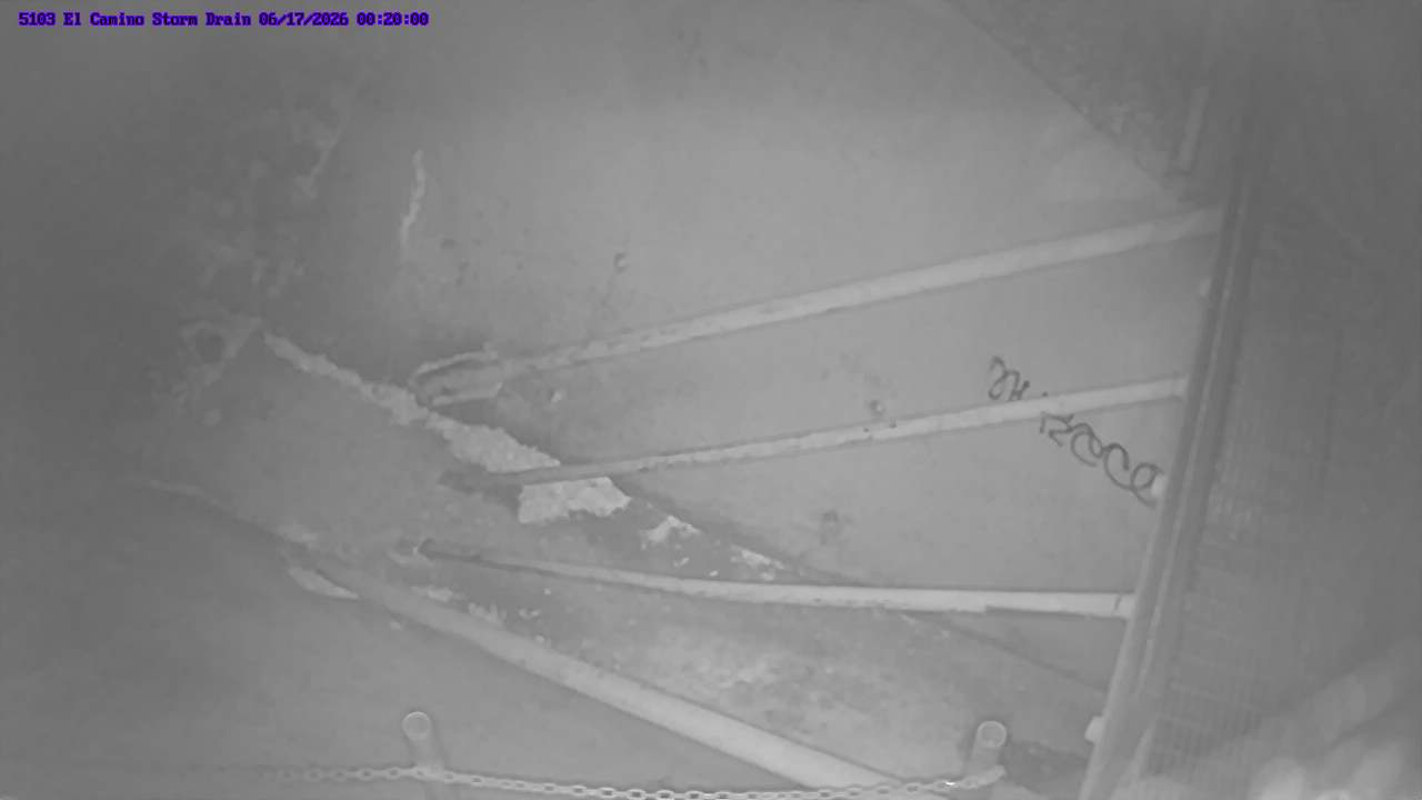
WebCams update at least twice a day, and more frequent as creek water height (stage) rises and recedes during storm events.
Scroll down for past available images.
2025-05-08 22:00:00
Hydrograph
Help
×

Help

Hydrograph

These data readings are Preliminary. Most data relayed by telemetry have received little or no review. Inaccuracies in the data may be present because of instrument malfunctions and/or physical changes at the measurement site. Subsequent review may result in significant revisions to the data.

The data available may be different from the "Available Images" dates. Please use the "Time Range Selection" option to view data from different periods.

Photo Selection Guide

Step 1: Select a range option from the “Photo Range” Dropdown

Step 2: To cycle through images use one of the following:

  • Toggle the "+" or "-" icon
  • Drag the white tab on the scroll bar between the "+" & "-" icons
  • Toggle the or icon for a slideshow of the Photo Range images (icon is hidden if only one available image)
  • Select individual images at the bottom of the page (a red frame indicates the current displayed image)

Photo Range
Selection is limited current water year
(October 2024 to October 2025)

Time Lapse Selection
0 images found

Play timelapse of available images


Tools
Magnifier
Image Filters
Available Images
preview all
preview none
Providing stream stewardship, wholesale water supply and flood protection for Santa Clara County.

  • Alert Webpages:
  • Home
  • Precipitation
  • Reservoir
  • Stream

Copyright © 2025 Santa Clara Valley Water District. All rights reserved.